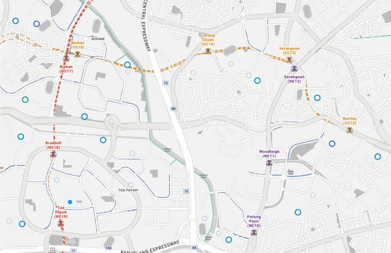
Finding the best choice by real proximity

No more manual searching of each school travel time on maps.
Features
Schools, their subjects, CCAs, Cutoff points and travel time all in one place.
Primary, Secondary & JC
Detailed data across 17+ metrics for each school level.
Routing
Real-time travel times from your place to any school by public transport, cycling, or car.
About
Data regularly updated from data.gov.sg, transit data from LTA and postprocessing to tie it all up for your convenience.